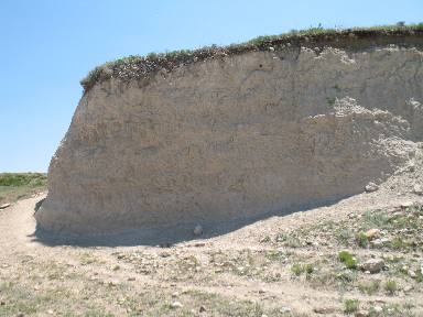
Laramie Range in WyomingJuly 16 & 17, 2009 Laramie Range, Open Range & Volcanic Ash; Wheatland, Wyoming We took a scenic drive out Palmer Canyon Road in Wheatland, Wyoming toward the Laramie Range. We are staying in the FREE city campground in Wheatland. It has electricity 30 & 50 amp. Water & dump station at a central location. The campground is located at the south end of 8th street. Once in town you will be on 9th street when you get to the red light turn east and go to 8th street then turn south and proceed to the city campground about 6 blocks. You will spot the park, the campground is on the south side in a row of large cottonwood trees. Road cuts and ravines near Wheatland reveal volcanic ash left over from a violent era experienced in this region. Volcanic ash that has aged into white claystone near Wheatland, Wyoming
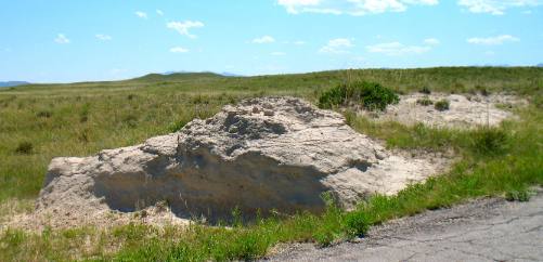
This is volcanic ash that has formed white claystone and is common in this area. Geologist think that the ash was blown in on prevailing westerly winds from volcanic eruptions in Nevada. As thick as this stuff is there must have been some heavy volcanic action in Nevada. This volcanic ash appeared during the same time period as the volcanic action was occurring in Nevada. More volcanic ash (now white claystone) that covers the open range around Wheatland, Wyoming
This is more of that white claystone that is made of compacted volcanic ash.
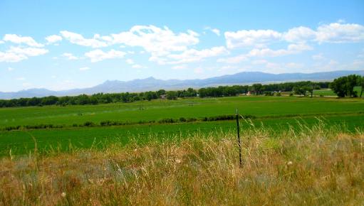
Looking west at the Laramie Range from Wheatland, Wyoming
That is a lot of alfalfa. That is the Laramie Range in the background. Palmer Canyon Road leads west out of Wheatland, Wyoming directly toward the Laramie Range
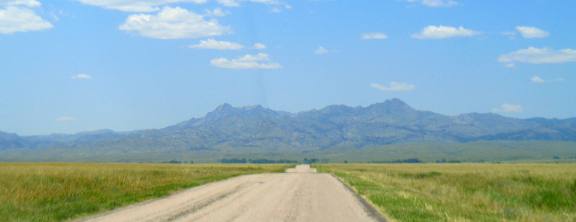
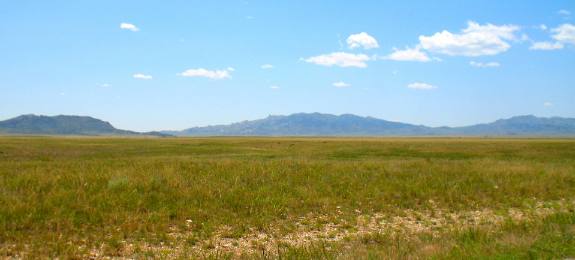
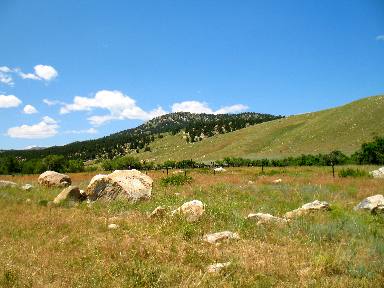
As we got 20-miles or more west of Wheatland on Palmer Canyon Road we got closer and closer to the Laramie Range & Medicine Bow National Forest. But before we get there we have to cross over this great expanse of open range land.
Open Range land west of Wheatland, Wyoming with Laramie Range in the background
Open range in this area stretches for miles and miles. We can not even see a cow at this point. They are there but probably down in some ravine or other depression.
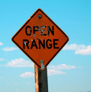
Open Range sign on our way to the Laramie Range
Open range signs, indeed any sign, is an invitation for target practice. I guess they are easier targets than deer or pronghorn. If you do not understand "open range" I will explain it shortly.
Open range and the Laramie Range west of Wheatland, Wyoming
Folks, it is still a long way to those mountains. Those mountains are part of the Laramie Range. They trend northsouth with Douglas on the northern end and Laramie on the south. The Oregon Trail had to circle north around the Laramie Range as does the North Platte River.
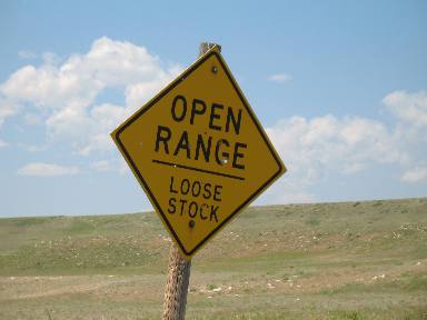
Loose stock and Open Range go together like socks and shoes
Possibly "loose stock" will help explain the term "Open Range". If not the next picture should explain it fully.
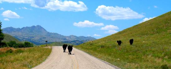
Now this explains open range and loose stock
This is what "Open Range" and "loose stock" refers to. We are on a lonely county road. You will not see this on major highways and interstates. But this is the "real" Wyoming. We are west of Wheatland, Wyoming with the Laramie Range in the background.
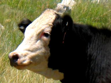
You see sights like this in open range areas of Wyoming
If I were to guess I would say this is a Hereford/Angus mix. The black coat belonging to the Angus and the white face to the Hereford. Someone who knows cattle probably knows better.
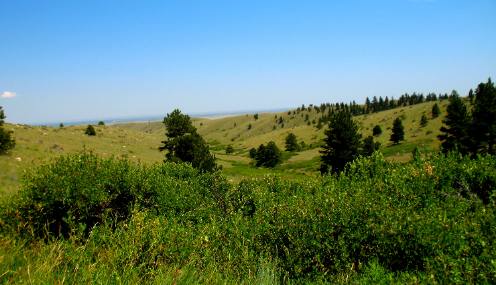
Foothills of the Laramie Range west of Wheatland, Wyoming
We are entering the foothills of the Laramie Range. Note that the rocks are getting larger.
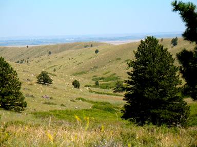
Foothills of the Laramie Range west of Wheatland, Wyoming
More foothills scenery. As the elevation increases trees begin to appear.
Open Range in foothills of the Laramie Range west of Wheatland, Wyoming
The further west we drive the foothills of the Laramie Range become more picturesque. More trees and more green shrubs appear as we gain altitude. We enjoyed our drive out Palmer Canyon Road to the Laramie Range through the open range land and back to Wheatland. Wheatland is a nice place to visit and we will return. Until next time remember how good life is.
Click here for some Wyoming travellogsUntil next time remember how good life is. More Wyoming AdventuresAdventures by State ** More 2009 Travel Adventures
Mike & Joyce Hendrix
Mike & Joyce Hendrix who we are We hope you liked this page. If you do you might be interested in some of our other Travel Adventures: Mike & Joyce Hendrix's home page Travel Adventures by Year ** Travel Adventures by State ** Plants ** Marine-Boats ** Geology ** Exciting Drives ** Cute Signs ** RV Subjects ** Miscellaneous Subjects
We would love to hear from you......just put "info" in the place of "FAKE" in this address: FAKE@travellogs.us Until next time remember how good life is.
|
| ||
|
| |||
|
| |||
|
|