East Oregon Geology
June 19, 2007.
We are staying at Mountain View Travel Park in Baker
City. $24.79 FHU, shade and a nice enough RV-Park. It must
be a former KOA since they charge extra for everything, $2 extra for
wifi, $2 extra for larger sites, you get the picture.
This was a slow day for us and we got a late start. At first we were
undecided about what we wanted to do but finally settled on heading
out to John Day since we had
not been out that way. So John Day
it was. By the way John Day
is the name of a small east Oregon town.
Igneous intrusions or dikes
west of Baker City
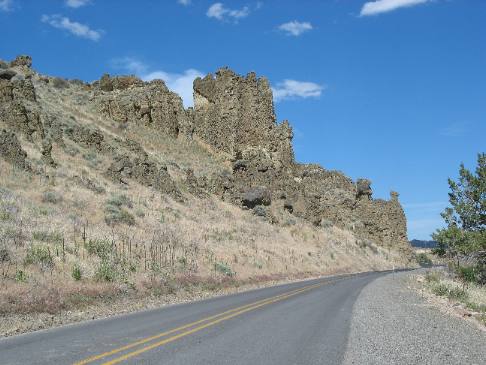
This basalt
outcropping is in the process of creating a line of hoodoos.
Igneous intrusions or dikes
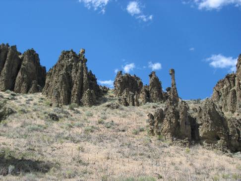
In this area basalt
intrusions or dikes
have created a field of hoodoos.
These odd looking shapes were formed deep within the earth when molten
rock forced its way into cracks and crevices of the overlying rock.
The overlying rock being softer has eroded away exposing the much
harder basalt.
Joyce took
this picture a few miles west of Baker
City.
A dry valley west of Baker
City
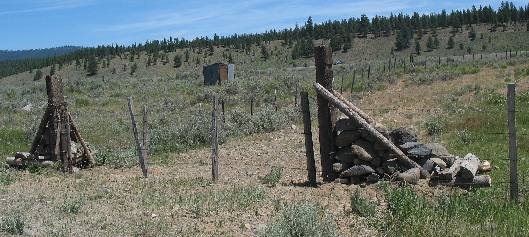
This is a picture of those rock fence post that we are seeing all
over this area of Oregon. Note the geology here. Mountains surround
us but as you can see this is a pretty dry area.
Valley on
SR-7 in the Wallowa-Whitman National Forest
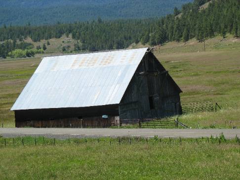
It is located in Sumpter
Valley near or in the old
ghost town of Whitney on SR-7.
Anticline
and geologic fault near intersection of SR-7 and US-26 west of Baker
City
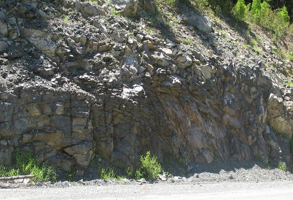
Ahhhhh, look at this geology. It is a perfect anticline.
The rocks here make a perfect arch like it had been drawn with a protractor.
It takes awesome forces to bend rock like this.
The fault line creating this appears to be just right of the center.
Joyce took
this picture somewhere near Austin, Oregon.
Strawberry Mountain as seen from US 26 near Prairie
City, Oregon
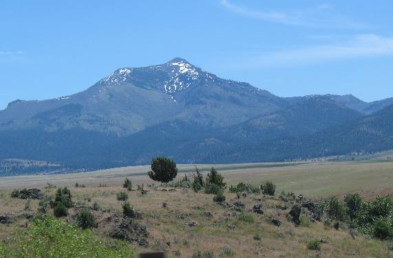
Again, this is Strawberry Mountain south of Prairie
City as seen from the John
Day Valley.
John
Day Valley on US-26 between Prairie
City and John Day, Oregon
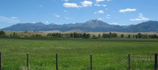
Irrigation makes these valleys so lush and beautiful.
Summit of Dixie Mountain at Dixie
Pass in Oregon
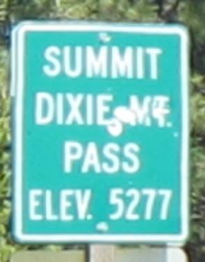
After leaving Prairie
City US 26 heads up and over Dixie Pass. Whatever you do in
this area is going to involve climbing a pass every 15 to 20 miles.
Dixie pass is east of John Day
and Prairie
City in case you are wondering.
Lush Oregon Valley full of cattle
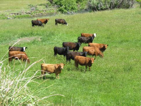
No sooner than we pass one of those desolate hoodoo
fields than we round the corner and a beautiful valley unfolds before
us.
Mike & Joyce Hendrix

Mike
& Joyce Hendrix who we are
We hope you liked this page. If you do you might be interested in
some of our other Travel Adventures:
Mike & Joyce Hendrix's home
page
Travel Adventures
by Year ** Travel
Adventures by State ** Plants
** Marine-Boats
** Geology ** Exciting
Drives ** Cute Signs
** RV
Subjects ** Miscellaneous
Subjects
We would love to hear from you......just put "info" in
the place of "FAKE" in this address: FAKE@travellogs.us
Until next time remember how good life is.


