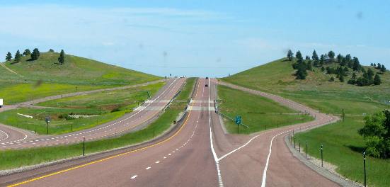
I-25 North of Wheatland, WyomingTypical scenery north of Wheatland on I-25
This has been a wet spring in Wyoming and the green grass is happy. Later in the summer area this will turn brown. Typical scenery north of Wheatland on I-25
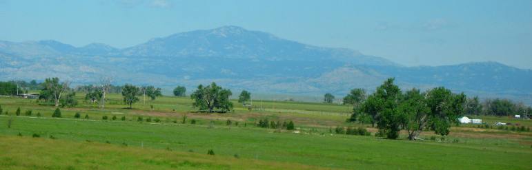
There is a lot of irrigated farm land along I-25 and the North Platte River in Wyoming north of Wheatland.
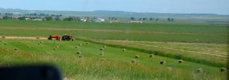
Hay operation view from I-25 north of Wheatland
Hay is big business in Wyoming.
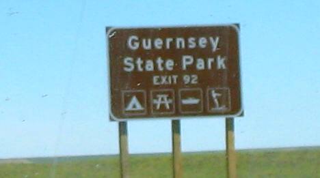
Take exit 92 from I-25 north of Wheatland to Guernsey State Park
Guernsey State Park, is a historic district and state park near Guernsey, Wyoming. In addition to the historic district, the park also consist of Guernsey Reservoir on the North Platte River. The Guernsey Historic District the park was declared a National Historic Landmark in 1997, for its Civilian Conservation Corps buildings and structures. The park contains a separate National Historic Landmark, the Oregon Trail Ruts.
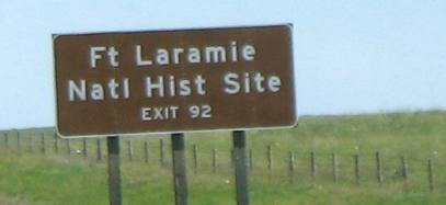
Take exit 92 from I-25 north of Wheatland to Ft Laramie National Historic Site
Fort Laramie was a welcome site for pioneers on the Oregon/California/Mormon Trail. It was their first sign of civilization in six weeks. As you can imagine it was a unique respite from the endless wilderness they had been plodding through since heading west.
In 1834, fur trader William Sublette built a wooden fortification here and called it Ft. William. There was no emigrant traffic then--Sublette's goal was trade with the local tribes. He offered alcohol and tobacco in return for buffalo robes. This humble beginning would become Ft Laramie.
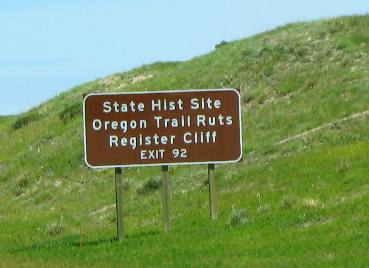
There was only one building at Ft. Laramie that warranted a visit by the Oregon-bound emigrants--the post trader's store. It was the only reliable post office within 300 miles. Supplies could be purchased here too although prices were outrageously high. Tobacco, for instance, that could be had for a nickel in St. Louis, cost a dollar here. Take exit 92 from I-25 north of Wheatland to Oregon Trail Ruts & Register Cliff State Historic Sites
Oregon Trail Ruts State Historic Site is a one of the neatest "historic sites" you will ever visit. The Oregon Trail Ruts from the days of the Oregon Trail have been preserved in a sandstone hill where the Oregon Trail was following the North Platte River, about 1/2 miles south of Guernsey, Wyoming. The Oregon Trail at Oregon Trail Ruts Historic Site was making its way up towards South Pass. Wagon wheels, draft animals, and people wore down the trail about two to six feet into a sandstone ridge here, during its heavy usage from 1841-1869. The half-mile stretch is "unsurpassed" and is the best-preserved of Oregon Trail ruts anywhere along its former length.
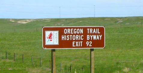
Register Cliff is a sandstone cliff and a key navigational landmark along the Oregon Trail. It was also a place where emigrants chiseled the names of their families on the soft stones of the cliff. Register Cliff was one of the key landmarks for parties heading west (along the Oregon/California/Emigrant/Mormon Trail) along the Platte River valley which allowed travelers to verify they were on the correct path up to South Pass and not moving into impassable mountain terrain. Register Cliff is geographically situated at the western edge of the great plains and marks the eastern ascent to the Continental divide at South Pass. It is notable as a historic landmark for all the emigrant names that have been carved into the sandstone cliff. It obviously became a custom to inscribed their names on it's rocks during the western migrations of the 19th century. An estimated 500,000 emigrants passed this way from 1843–1869, with up to one-tenth dying along the way, usually due to disease. Register Cliff is the eastern most of the three prominent emigrant "recording areas" located within Wyoming, the other two being Independence Rock and Names Hill. Take exit 92 from I-25 north of Wheatland to Oregon Trail Historic Byway
While this is casually referred to as the Oregon Trail one must keep in mind that many other northern Emigrant Trails passed this way also. The other Emigrant Trails such as the California Trail and Mormon Trail split off farther west.
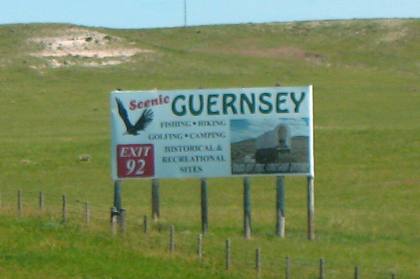
Take exit 92 from I-25 north of Wheatland to Guernsey, Wyoming
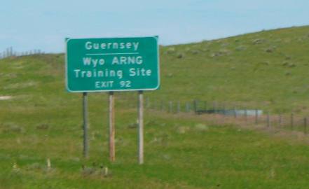
I think Guernsey, Wyoming is best noted for it's historic location along the North Platte River and Emigrant Trails. It is a base used by tourist who are visiting places like Register Cliff, and the Oregon Trail Ruts. Other visitors may stop in Guernsey who are following the Emigrant Trail, Oregon Trail, Mormon Trail or California Trail. Ft Laramie is also in the vicinity as is Guernsey State Park. Take exit 92 from I-25 north of Wheatland to Wyoming ARNG (Army National Guard) Training Site in Guernsey
The camp is an ideal training site for all U.S. Military services,
as it shares a similar terrain with that of Afghanistan.
Click here for more Wyoming travellogsUntil next time remember how good life is. More Wyoming AdventuresSome Utah Adventures ** More 2011 Travel Adventures
Mike & Joyce Hendrix
Mike & Joyce Hendrix who we are We hope you liked this page. If you do you might be interested in some of our other Travel Adventures: Mike & Joyce Hendrix's home page Travel Adventures by Year ** Travel Adventures by State ** Plants ** Marine-Boats ** Geology ** Exciting Drives ** Cute Signs ** RV Subjects ** Miscellaneous Subjects
We would love to hear from you......just put "info" in the place of "FAKE" in this address: FAKE@travellogs.us Until next time remember how good life is.
|
| ||
|
| |||
|
| |||
|
|