Canadian Rockies in Kootenay National
Park
July 7, 2007.
We are staying in the Tunnel
Mountain National Park Campground in Banff, Alberta. Tunnel Mountain Campground
offers full hookups, no hookups, and electricity only. We are in one of the $29.70
electricity only sites. I do not know what FHU or no hookups cost but they are
all in the same area. All sites are paved.

The
Canadian Rocky Mountains
in this area are comprised of limestone and shales deposited on an ancient sea
bottom millions of years ago.
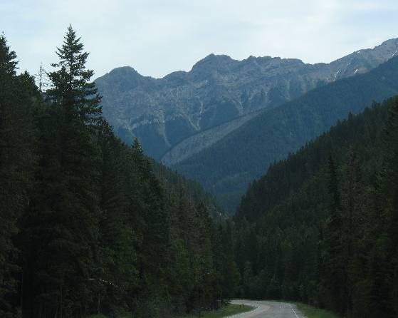
We are following a creek at this point but will
soon meet the Kootenay
River and will follow it to the Continental Divide not far from Banff.
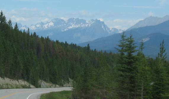
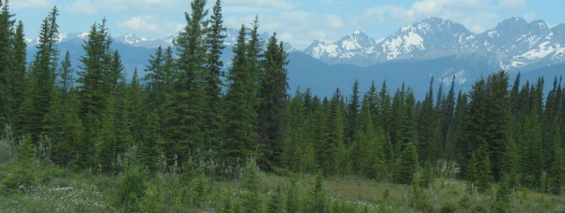
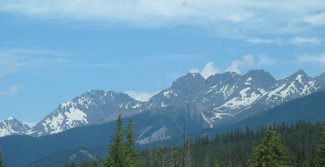
At times we get a peak
at the mountains we are threading our way through.
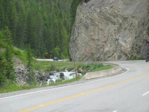
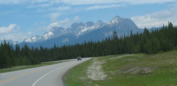
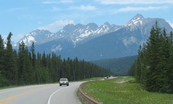
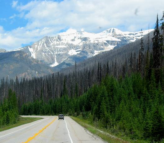
PH
93 in this section is a nice modern highway complete with guard rail.
Notice the snow covered mountains we are passing.
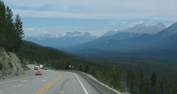
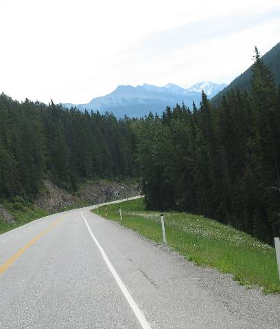
We
must have followed this valley for 30 to 40 miles with spectacular views of snow
capped mountains every way we looked on PH93
in Kootenay Natonal Park.
Joyce
is doing a good job taking these pictures out the front window of our motorhome.
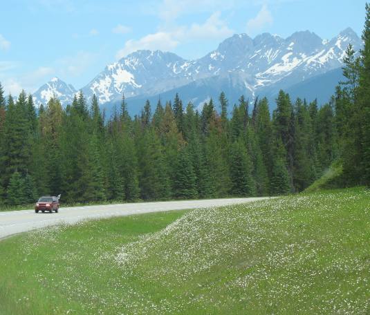
Shadows
on the mountains along with the deep green of the conifer forest make every turn
exciting.
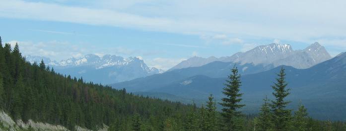
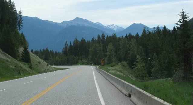
From
here it looks like the mountains have no forest on them.
Some
of that snow is actually deep glaciers that will not melt over the summer.
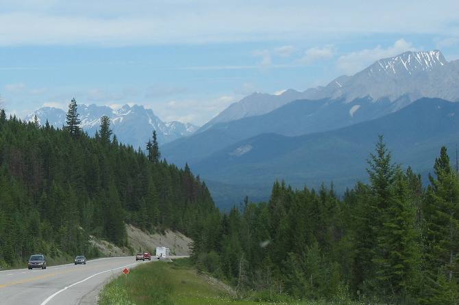
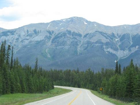
Now
we are following the Kootenay
River to its headwaters high on the Continental Divide.
We
are going to have to find a pass through those mountains that form the backbone
of the Rocky Mountains.
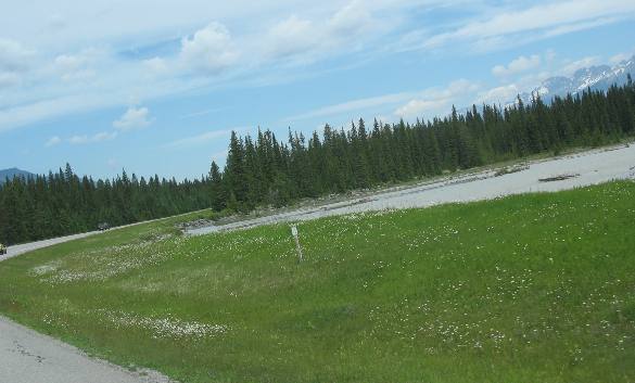
In
addition to the deep green of the conifer forest small white flowers are lining
the highway.
We
keep getting higher and higher as we continue to follow the Kootenay
River. Note that we are getting much closer to the snow.
The
valley is beginning to narrow and we are getting closer to the mountain.
By
this time I think we are starting to cross the mountain instead of just following
the valley.
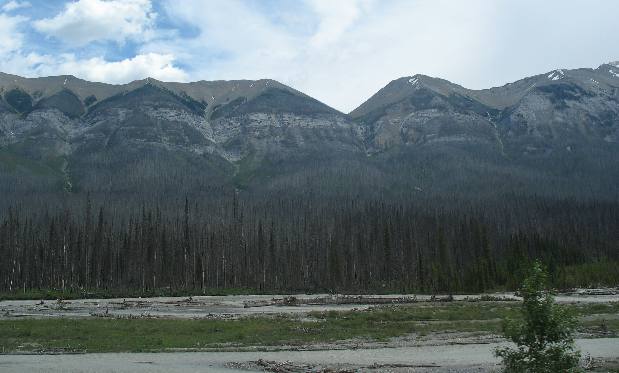
Those
are avalanche chutes and we are getting closer to them.
Snow avalanches
and rock slides cut swaths through green vegetation.
Many large rocks, some
weighing several tons, roll and bounce all the way to the bottom.
You can
clearly see where avalanches and rock slides have created these distinctive trails
through the vegetation.
In
this picture you can easily see the layers of sedimentary rock rising from the
Kootenay River.
Now
the glaciers are not much higher than we are. Note the avalanche chutes.
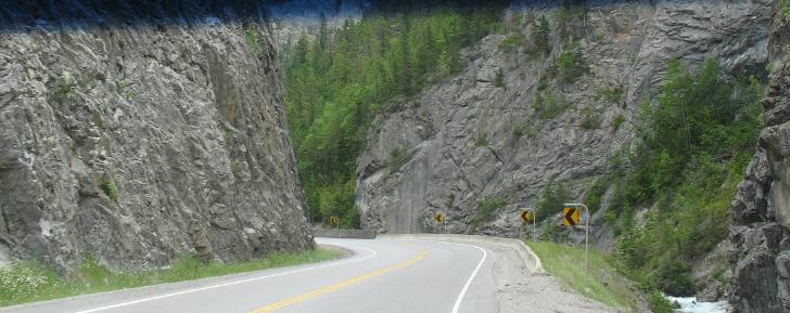
The
early part of this drive,--- the part within 10 or so miles of Radium
Hot Springs is comprised of these roadcuts. Soon we will pop out into
a series of magnificent valleys.
Until next time remember
how good life is.
We
hope you liked this page. If you do you might be interested in some of our other
Travel Adventures:
We
would love to hear from you......just put "info" in the place of "FAKE"
in this address: FAKE@travellogs.us
Until next time remember how good life
is.
