May 26, 2007.
Passport America - Discount
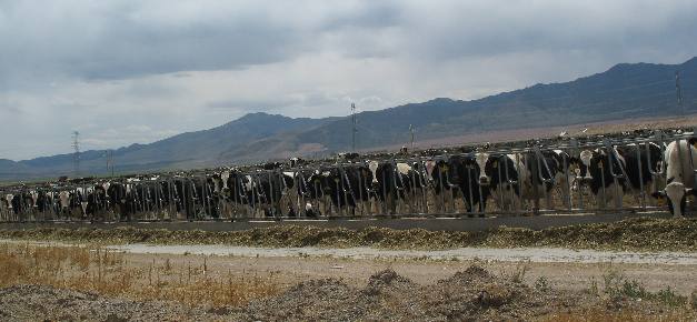
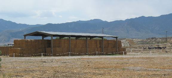
Camping ClubDairy operation around Elberta in the South
Valley southwest of Provo, Utah
On the southwest side of Utah
Lake we came across a large dairy in the town of Elberta.
Dairy
operation in the South Valley
town of Elberta, southwest of Provo, Utah
This
large dairy seemed to be the only industry in Elberta.
Old
Sinclair station in Elberta, Utah
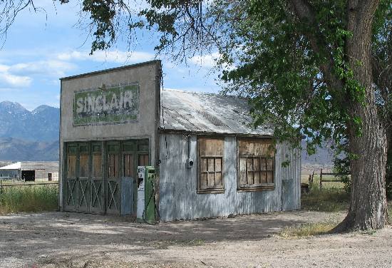
This old Sinclair station in Elberta was
meant for a photograph, don't you agree?
Old mine east of Elbetta,
Utah
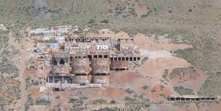
Between
Elberta and I-15 while traveling east on U.S. 6 we spotted this old mine on the
side of a large hill. I suspect this that this was a dolamite or limestone mine.
If anyone knows please let me know. It was located on a large hill southwest of
Santaquin and visible when heading east on U.S. 6.
Grain
field in the valley surrounding Utah Lake
near Provo, Utah
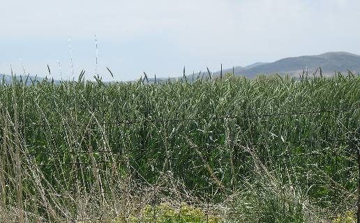
This is one of the unidentified grain fields in
the south valley. I wish I knew more about grain identification but all grains
look so similar to us. For all I know it was oats to feed those dairy cattle with.
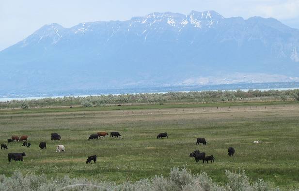
Joyce
took this picture looking east from what is known as south valley about 30-miles
south west of Provo. The cattle are grazing
at an elevation of around 4,300 feet while the mountain peak is around 11,926
feet. That mountain is the one we took the Alpine
Loop around yesterday.

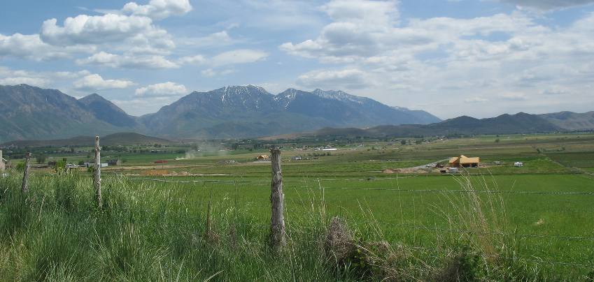
This
picture was taken south of Utah Lake
in the valley known as south valley. South
Valley is an agricultural area with a combination of fruit
orchards and alfalfa fields. The nearest named spot in the road would
be Elberta.
Until next time remember how
good life is.
Mike
& Joyce Hendrix
Until next time remember how good life
is.
Mike
& Joyce Hendrix who we are
We
hope you liked this page. If you do you might be interested in some of our other
Travel Adventures:
Mike & Joyce Hendrix's
home page
Travel
Adventures by Year ** Travel
Adventures by State ** Plants **
Marine-Boats ** Geology
** Exciting Drives ** Cute
Signs ** RV
Subjects ** Miscellaneous
Subjects
We
would love to hear from you......just put "info" in the place of "FAKE"
in this address: FAKE@travellogs.us
Until next time remember how good life
is.