Places Visited: Wyoming: Pinedale and the drive from Jackson to Pinedale along the Snake River and Hoback River. August 13, Wind River View RV-Park 307-537-5453 Boulder, Wyoming: N42° 46.531' W109° 44.047' $24.08 Full hookups with gravel interior roads and pads. Nice, clean park with a good laundry and free wireless-----. We moved the motorhome from Jackson Hole to Colter Bay Village in the northern part of Teton National Park. That entire drive was through Teton National Park Valley, with the mighty Tetons providing a backdrop on our western flank. A more scenic drive is hard to find. Eight days later we retraced our path and moved the motorhome south to Gros Ventre Campground just north of Jackson where we spent another week. After spending the past two weeks in Teton National Park it was time to move on. We decided to start making our way back to Pensacola. We aren't making a mad dash back preferring to just amble along experiencing places and things that we have missed on previous excursions. From Gros Ventre Campground in Teton National Park we made our way south through Jackson to Hoback Junction.
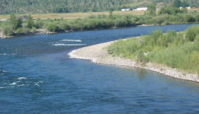
Between Jackson and Hoback Junction US-26 follows the Snake River.
Hoback Junction is located at the confluence of the Hoback River and Snake River. It is also where US-191 intersects with US-26 that follows the Snake River to Alpine, Wyoming on the Idaho border.
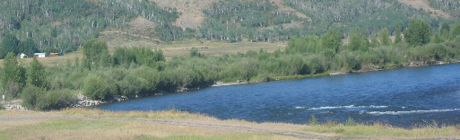
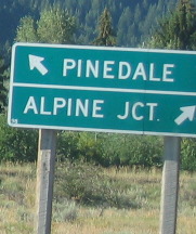
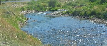
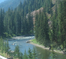
From Hoback Junction we started following the Hoback River as we headed toward Pinedale on US-191. The Hoback River has its headwaters in the Bridger Teton National Forest southwest of Bondurant, Wyoming.
Somewhere between Bondurant and Pinedale in Sublett County we passed the site where in 1811, sixty one Astorians of the American Fur Company, the squaw of Pierre Dorian and her two children, with one hundred and eighteen horses camped for 5-days. They were on their way to the Pacific Ocean from Montreal via St. Louis. Here they met, traded and powwowed with the Sake Indians, killed buffalo and cured meat. Continuing their journey they crossed the Continental Divide near here then continued on to the waters of the Columbia River. These were the first white men in what is now Sublette County, Wyoming.
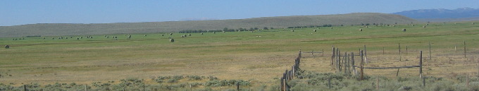
After US-191/189 stopped following the Hoback River we continued toward Pinedale following a beautiful valley with large hay fields paralleling the highway.
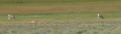
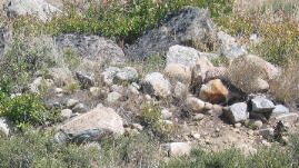
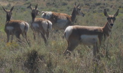
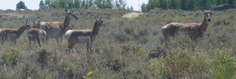
Pronghorn antelope are a common sight.
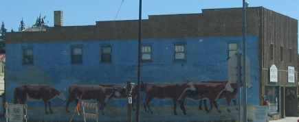
This store in Pinedale features an attractive mural
On the edge of this magnificent sheet of water, from 1833 to 1844, Captain William Drummond Stewart of Scotland camped many times with Jim Bridger other Mountain Men and Indians. In 1837, his artist, Alfred Jacob Miller, painted the first pictures of this area. On Stewart's last trip in August 1844, eight men in a rubber boat, first boat on the lake, honored their leader by christening these waters as Stewart's Lake, in a joyous ceremony near the Narrows, with six-jugs of whiskey.
Years later this glacier-formed lake with its shoreline of twenty-tow miles and over six hundred foot depth was named after General John C. Freemont who's map makers knew not that it had been named long before.
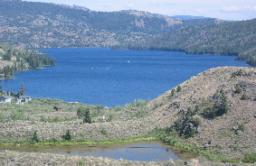
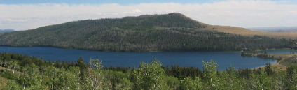
Fremont Lake, at the base of the Wind River Mountains, is a natural lake formed behind a dam of glacial debris.
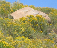
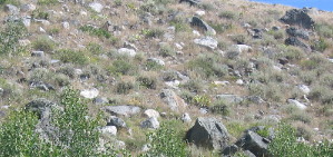
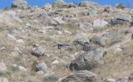
Large boulders litter the hillsides surrounding Fremont Lake. It appears that these large boulders were just dropped by some giant. But thanks to geologist we know that they were dropped here by the Pinedale Glacier when it retreated some 15,000 years ago.
The boulders didn't just happen, they were deposited here during the "Pinedale Glaciation" during the Pinedale glacial advance from 70,000 to 15,000 years ago.
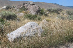
The piles of glacial debris (moraine) are different than the cobblestones found in the moraine piles of Teton Valley in Teton National Park. These boulders have much sharper edges.
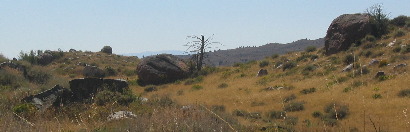
Fremont Lake is surrounded by a huge wall of glacial debris, a moraine, that was pushed out of the mountains and deposited thousands of years ago by the large Pinedale glacier.
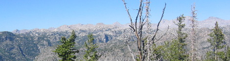
We followed Fremont Lake road from Pinedale east to where it ended at the base of the Wind River Range. Needless to say a highway doesn't cross the Wind River Range. To get to the other side from Pinedale one has to utilize the highway over South Pass just like emigrants on the Oregon Trail did over 100-years ago.
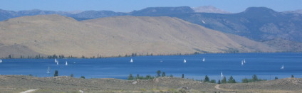
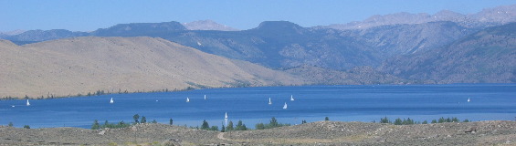
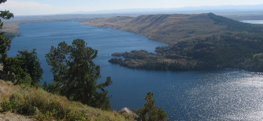
On our way back to Pinedale we stopped at a turnout offering this panoramic view of Fremont Lake from the eastern end high in the foothills of the Wind River Range. Note that the sides of Fremont Lake rise abruptly from the shoreline of its 600-foot depths. The striking depth of the lake and steep sides are the result of a glacier that retreated thousands of years ago leaving behind this wall of glacial moraine and deep gouge in the earth.
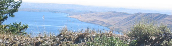
Pronghorn antelope are a common sight in the dry open areas around the western part of Lake Fremont.
Until next time remember how good life is. Mike & Joyce Hendrix
|
| ||

| |||