Places Visited: Utah: Provo and scenic drive into the mountains
east of Provo. Also traveling U.S. 6 from Price to Provo. May 25, 2007. We are in Lakeside RV-Park on west Center Street in Provo (next door to Utah Lake State Park located on Utah Lake). We forgot all about Memorial Day until late last week when "the lights came on". Joyce immediately got on the cell-phone and started trying to locate a place for us to settle in for the long Memorial Day weekend. She got lucky and found the last vacancy at Lakeside RV-Park. That is why we are here but we are happy to be here. It is a nice park costing 27.41 per-night for FHU and plenty of shade from mature cottonwood trees. Down the street is Utah Lake State Park where rates are $18 per-night for water & electric and central dump station. They were full or we would have probably been there. Either would be just fine, in our opinion, although Lakeside RV is much nicer and overflows with more expensive RV's -- if you get my drift.
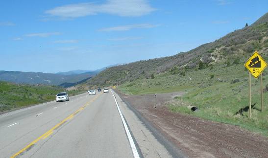
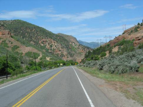
We overnighted in the Wal Mart parking lot in Price, Utah then got back on U.S. 6 and continued on our way to Provo, 75 miles away. We noticed that we were climbing when we left Price. I can't remember how long we climbed but I remember seeing an elevation sign that said "Elevation 7,700" at the time we commented on the elevation sign but did not understand why it was there. We should have known --- we were on Soldier Summit. Shortly we knew why the elevation sign was there. We started seeing road signs warning of a steep grade ahead. Those signs are something that RV'ers pay attention to. Anyway, we are on top of what turns out to be a tremendous grade. We started dropping at that sign and didn't stop dropping until we exited on I-15 some 35-miles away. I can't think of any grade that we have been on that stretched out for so long, it just went on and on while we dropped 3,000 feel in elevation.
It wasn't a particularly steep grade. I would estimate most of it was 2% to 4% with some stretches at 5%. In many places we are able to see RR tracks beside the road. RR beds are generally limited to 2% grades so I was using that 2% rule as an estimating tool.
As we are falling down the grade my transmission is able to hold our speed to 55 mph most of the time without me applying brakes. I certainly didn't need to provide any fuel to fall off Soldier Summit.
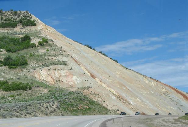
I am interested in the geology as roadcuts expose layer upon layer of sedimentary rock. As we fall off the summit rock layers become older and older.
Relentlessly the grade continues.
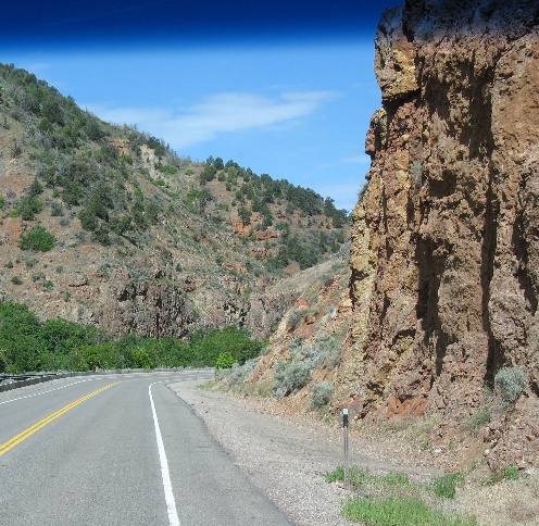
The layers of sedimentary rock change as we cut deeper and deeper into the earth's crust.
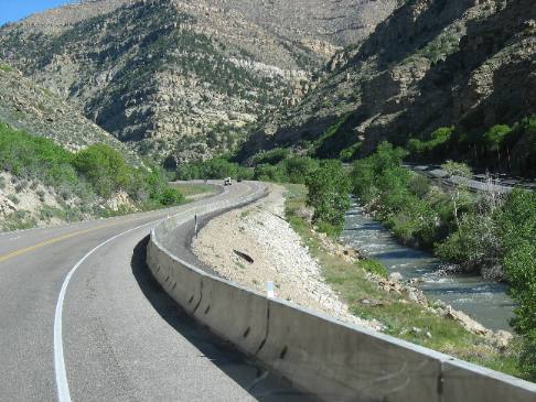
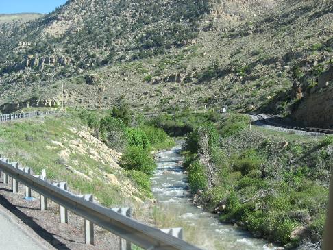
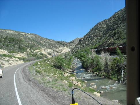
Along this stretch the RR is following the highway and the river indicating to me that we are descending on about a 2% grade. The sedimentary rock formations continue to change as we fall.
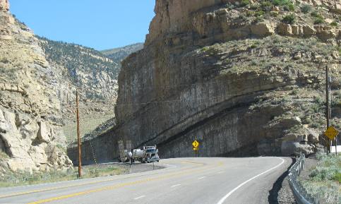
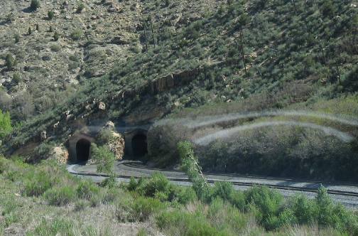
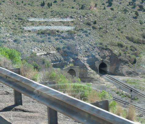
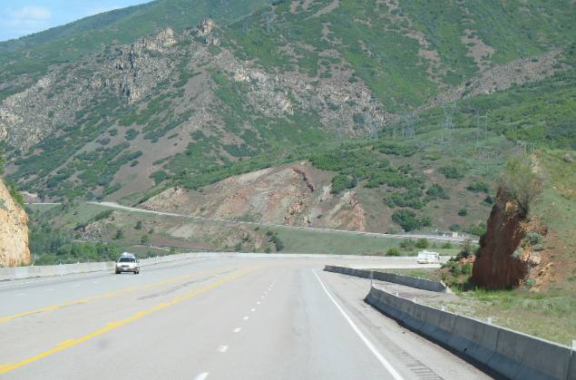
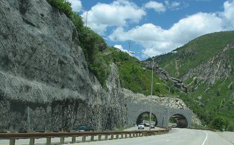
When the grade gets steeper than 2% the RR has to veer away from the highway through these tunnels in order to maintain a grade of no more than 2%. It is not long before the tracks are following the highway once again. The layers of sedimentary rock continue to change a we fall.
Again the train has to enter tunnels and head away from the highway in order to maintain their 2% grade. You will note that this steeper grade does not have the RR accompanying it. By the way you can not see the 5% grade it is out of sight to the left. We are still watching as the sedimentary rock strata changes.
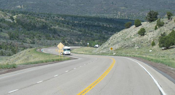
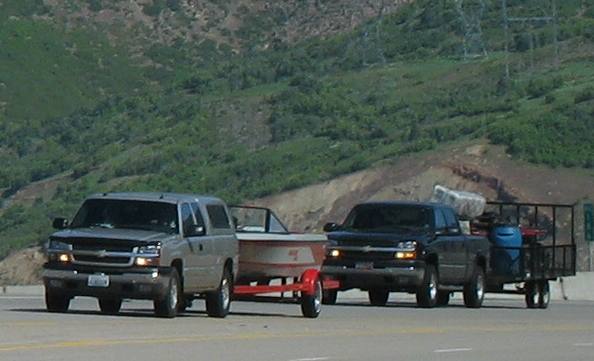
Many RV's are dragging boats while others are dragging 4-wheelers. Those heading out for a big weekend are climbing while we are falling.
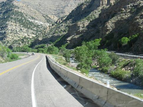
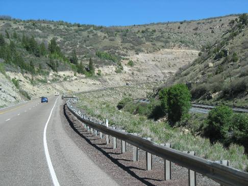
Incessantly falling we continue down the grade. The rock strata continues to change. Note that it is a light color on the left and red color a few miles away.
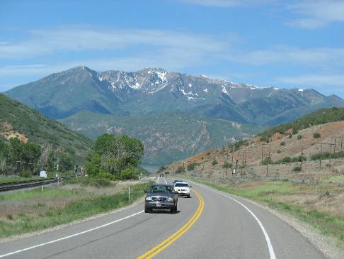
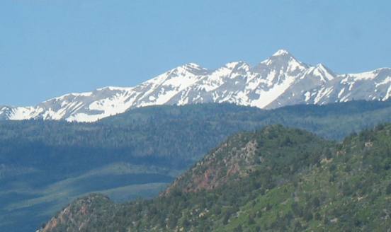
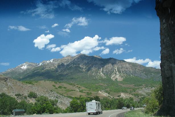
Within a few miles rock strata has changed again. As we near the valley we begin to see snow capped mountains. However, we continue to fall.
Snow capped mountains loom everywhere we look while the nearby rocks have changed to yet another strata of sedimentary rock.
Now a completely different layer of sedimentary rock appears. This layer has to be much older than the rock layers we were seeing at the top of this grade but what is it?
Again boats and ATV's heading away for the Memorial Day weekend and this is Friday morning. One can only imagine the exodus that will take place later this afternoon.
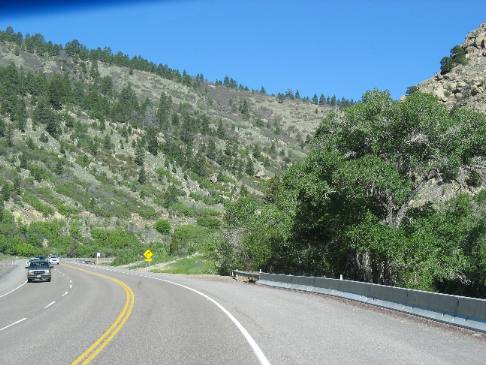
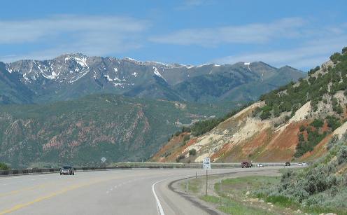
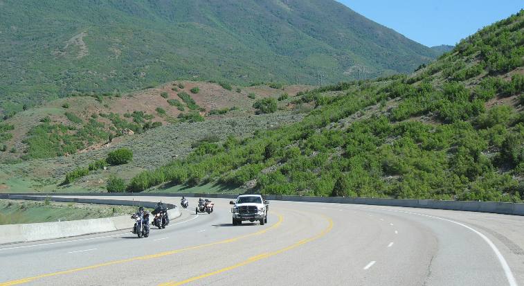
Motorcycles have joined the parade of RV's and boats heading away for the weekend. Note that we continue to drop in altitude. The train has long ago taken another route. We are getting closer to I-15 and the valley. Note vegetation in the picture and U.S. 6 has become a large 4-lane. Those headed in our direction have 30 miles of climbing ahead of them.
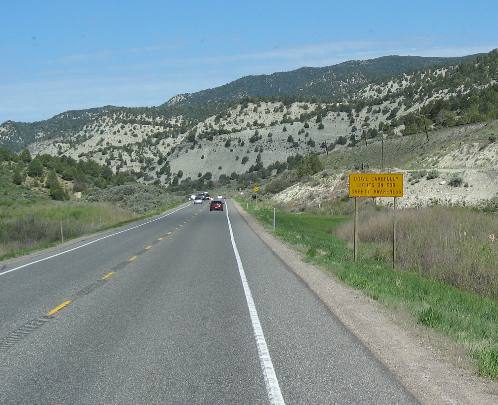
We may be getting closer to I-15 but the grade has not subsided. Like I said that grade goes on and on and on for an unbelievably long time.
The sedimentary formations continue to change as well.
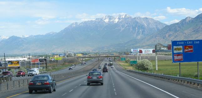
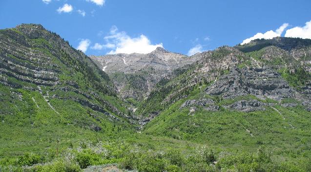
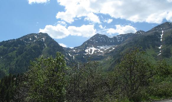
We are finally on I-15 and only 5-miles from our exit in Provo. We are going to explore an alpine drive on that mountain in front of us later this afternoon.
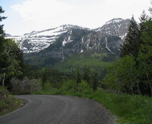
After checking in to our RV-Park we headed out for an afternoon adventure. Our adventure takes us on U.S. 189 into East Provo Canyon.
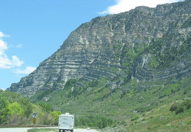
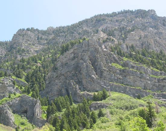
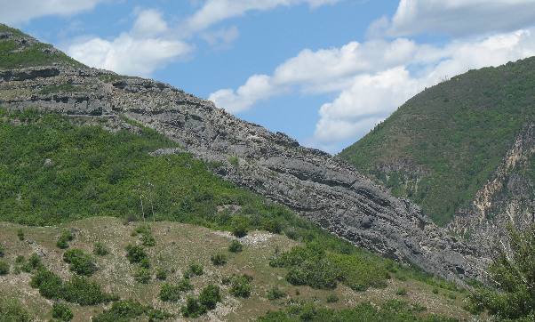
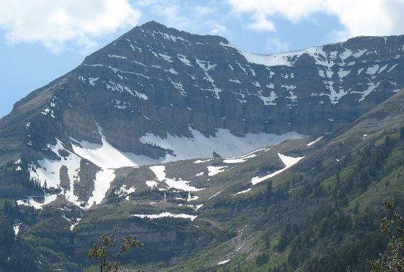
A closer look at the base of that mountain reveals multiple layers of sedimentary rock. Note that some of that rock is contorted into odd shapes. That dip in the sedimentary rock is know as a syncline a fold that is concave upward. Extraordinary forces shape otherwise flat rock into that shape.
Not far from that syncline but on the opposite side of the highway is this anticline, a fold that is convex upward. An anticline always has the oldest rock in the center. This my friend is a classic anticline. This area has been subjected to tremendous forces. I suspect this canyon is the result of a fault line.
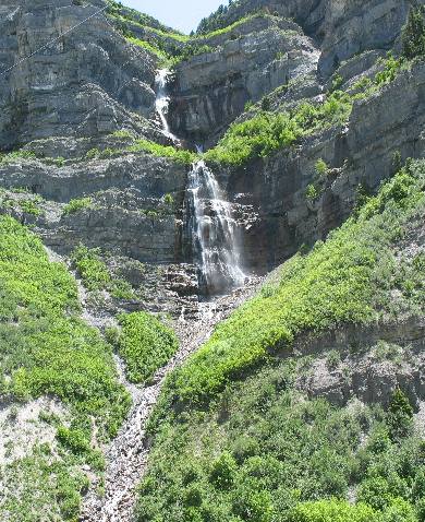
Many times water finds a fault to flow in. However, this waterfall does not appear to be located in a fault. While across the canyon water is not flowing in this obvious fault.
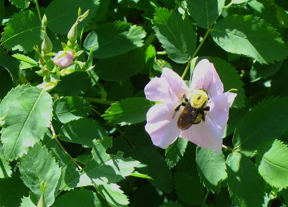
Joyce snapped this picture of a wild rose while we were walking to that waterfall.
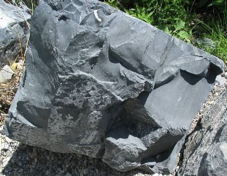
This is a large boulder at the bottom of the canyon near that waterfall. It appears to be limestone that has endured some metamorphosis and may now be a form of marble. On the right is multiple layers of sedimentary rock that has bent but if you look up you can easily see where the fault broke the layer of sedimentary rock causing the formation to angle at about 45-degrees toward the canyon floor. This place has some awesome geology going on.
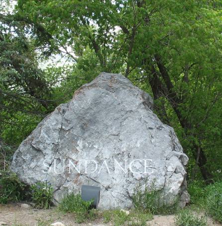
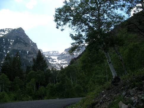
Shortly we pass through these twin tunnels and not long after that we turn left on SR-92 also known as Alpine Loop. Alpine Loop Road goes past Robert Redford's Sundance Resort. We couldn't go by Sundance without visiting.
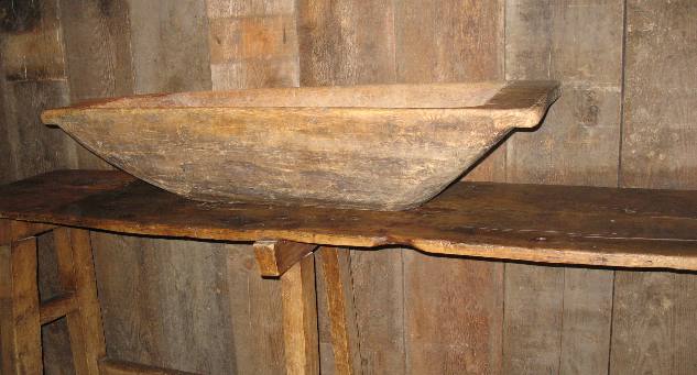
Landscaping was enjoyable at the resort as was the assortment of antiques assembled around the store.
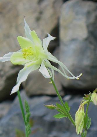
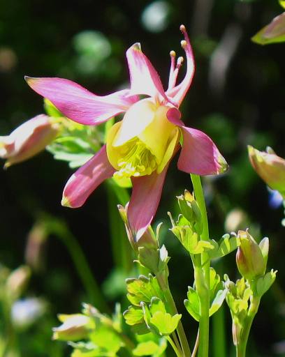
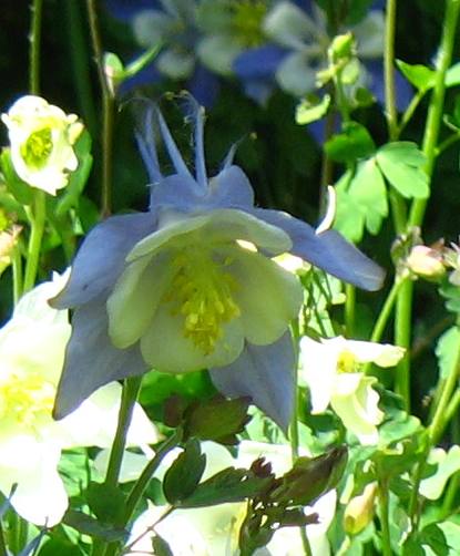
The flower is a columbine. They come in a variety of colors.
These columbine show off some of the beautiful array of colors they come in.
The view from Sundance is inspiring. I can see why the place is such an attraction.
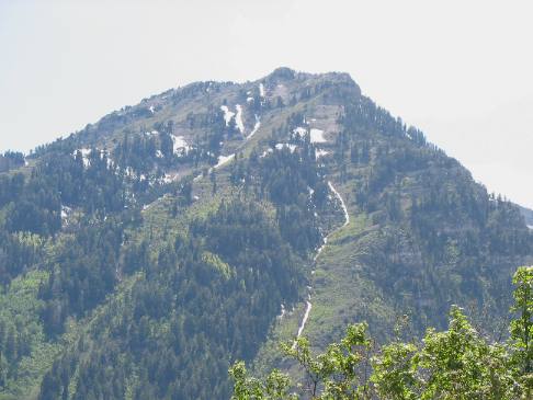
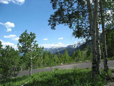
From Sundance we continued on Alpine Loop Road as it circles up the east side off this mountain.
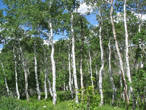
At this point we have climbed as high in elevation as Alpine Loop Road would go. We never got above the tree line but we did get into dense stands of aspen.
At this point Alpine Loop Road is gingerly continuing to loop around the east and north side of the mountain.
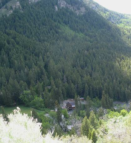
At some point on our descent Joyce snapped this picture of a retreat deep in one of the canyons. It must have been 700' or more below us.
Alpine Loop Road (SR-92) connects with I-15 at exit 287 about 22-miles north of where our motorhome is located back in Provo. This was a good day. We have experienced some wonderful geology.
Until next time remember how good life is. Mike & Joyce Hendrix
|
| ||

| |||